
Orientation
Nairobi National Park map
Use the map below to picture how the park sits against the city, where the lodges are and how far you are from each airport.
How the park is laid out
The park is roughly triangular. The north-western corner sits against Langata and the city, the eastern side runs along the airport road, and the southern boundary follows the Mbagathi River before opening onto the Athi–Kapiti plains.
Highland forest lies near the Main Gate, open grassland fills the centre, and the Athi Basin dams and Hippo Pools sit toward the south and east.
The main circuits
- Forest circuit — shaded tracks near the Main Gate, good for buffalo, bushbuck and forest birds.
- Central plains — open grassland where lion, rhino, giraffe and eland are most reliably seen.
- Athi Basin dams — waterbirds, hippo and predators drinking early and late.
- Hippo Pools — the only place you may leave the vehicle, with a ranger escort.
- Southern boundary — quieter tracks with long views toward the Kitengela plains.
Navigating inside the park
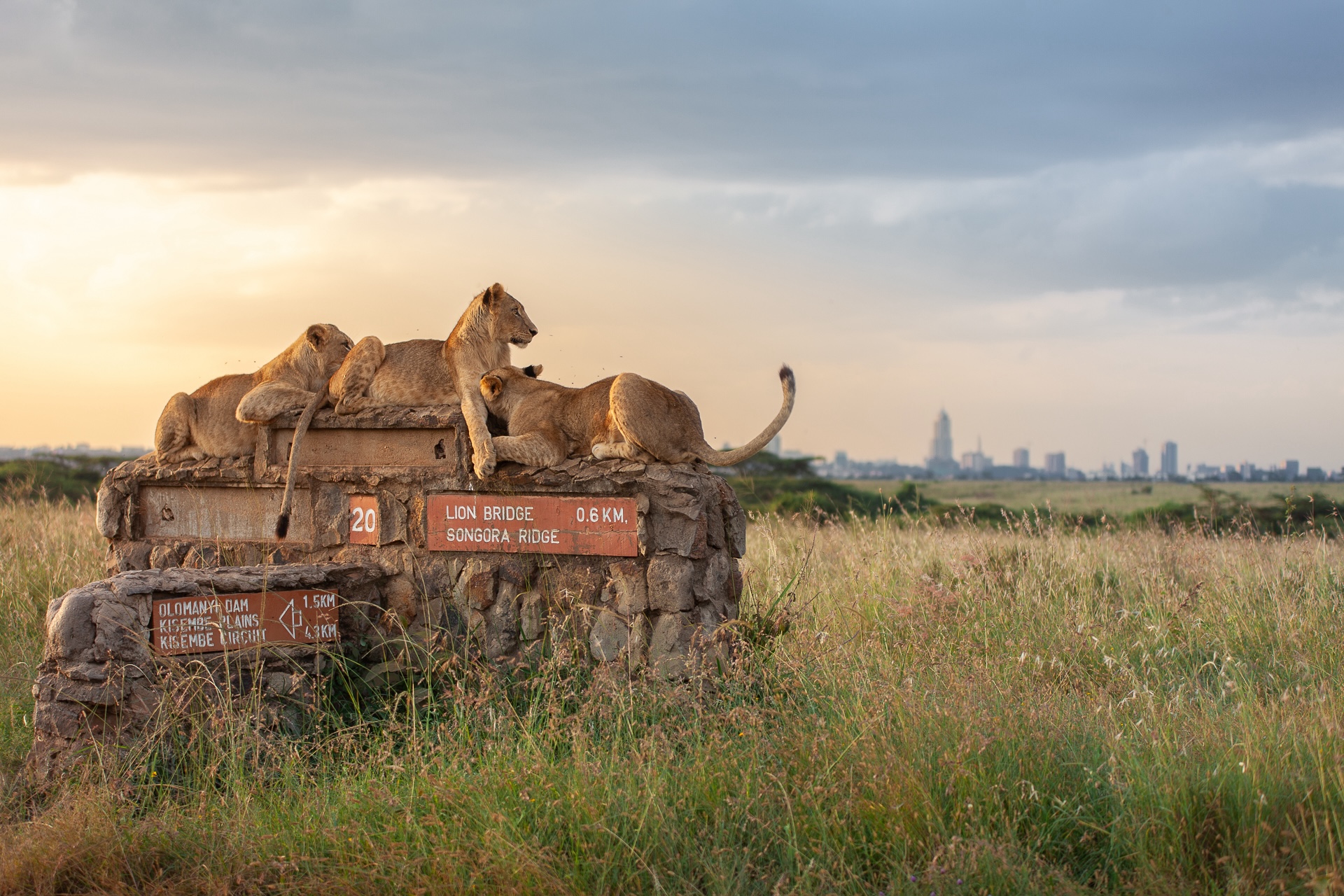
Junctions are numbered rather than named and signage is sparse, so download an offline map before you go. Mobile coverage is good throughout, but do not rely on live data at the far southern end.
Map of the park, lodges and airports
More on planning your visit
- Visitor guideEverything a first-time visitor needs in one place.
- Opening hoursGate times, last entry and the best hours to be inside.
- WeatherTemperatures, rainfall and what altitude means for packing.
- Park gatesEvery gate, where it leads and which one to use.
See all guides on Plan your visit, or check park fees and the best time to visit.
Not sure where to stay in Nairobi National Park?
Tell us your dates, budget and travel style and we will recommend the camps and lodges that fit — with no obligation.